
Quarry surveying and 3D laser scanning
A quarry has the same survey needs as a mine — face position, stockpile volumes, extraction against the permit, the annual return — and a fraction of the survey resource. The survey is a contractor once a quarter or a manager with a GNSS pole, and the face is measured from its toe because that is where the pole reaches.
One long-range scanner on a tripod records the faces, the stockpiles and the floor from positions off the face in a morning, at survey-grade, and the volumes, the face positions and the boundary check come from the same model.
How does a quarry use 3D laser scanning?
One tripod scanner records faces, stockpiles and floor from off the face at 1.9 mm at 10 m in a morning; volumes and the boundary check come from one model.
 Off the faceFaces recorded from across the floor at up to 130 m; nobody at the toe.
 Volumes that reconcileExtraction and stockpile volumes for royalty, sales and the annual return.
 Boundary and designFaces against the permit boundary and the extraction plan, with stand-offs measured.
 A morning, not a contractThe whole quarry in a handful of two-minute stations, by your own staff.
Why the quarry survey is done from the toe
A quarry survey is constrained by who is available to do it. A survey contractor visits quarterly or annually and produces the return; between visits the quarry manager shoots what has to be shot with a GNSS pole — a stockpile before a sale, a face after a shot — from where the pole can be carried, which is the toe and the crest. The face itself, which is where the extraction happened and where the permit boundary is closest, is a line between two shots.
The numbers that come from this carry money and compliance. Extraction volume drives royalty and the planning authority’s return; stockpile volume drives sales and stock; face position against the permit boundary is the condition the quarry operates under. When the annual survey disagrees with the sum of the quarter’s estimates, it is the quarry that explains the difference.
One long-range scanner changes what a small operation can survey. Artec Ray II on a tripod records the faces, the stockpiles and the floor from positions across the quarry at 1.9 mm at 10 m, out to 130 m, in under two minutes per station; a whole quarry is a handful of stations and a morning, done by the quarry’s own staff. Artec Twins georeferences the stations on the site grid, and the extraction volume, the stockpile volumes and the face positions against the permit boundary come from the same measured model.
From tripod to annual return
The same morning’s scan answers every survey question the quarter raises.
- 1. Set up across the floorRay II at positions with line of sight to the faces and the stockpiles, off the face and off the piles.
 2. Scan the quarryEach station a full 360° × 300° capture in under two minutes; a quarry in a handful of them.
 3. GeoreferenceTwins registers the stations on the site grid with GNSS and the quarry’s control.
- 4. Volumes and facesExtraction since the last scan, stockpile volumes, and face positions against the permit boundary and the extraction plan.
 5. ReportVolumes to royalty, sales and the return; surfaces as LAS, LAZ or E57 to the planning package or the consultant.
Which scanner for this work
A quarry needs one device that does everything from a distance to survey-grade.
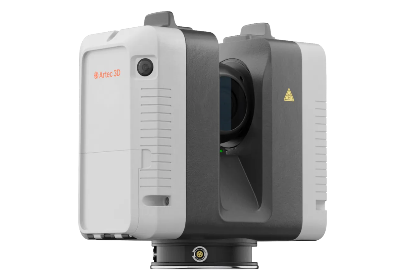
Artec Ray II
- Best for
- Faces, stockpiles and floor — the whole quarry from a tripod, at survey-grade
- Type
- Stationary long-range laser, tripod mounted
- Accuracy, up to
- 1.9 mm at 10 m, 2.9 mm at 20 m, 5.3 mm at 40 m
- Range noise
- 0.4 mm at 10 m
- Range
- 0.5–130 m
- Scan time
- 1 min 42 s at 3 mm, 10 m, without texture
- Field of view
- 360° × 300°
Ray II reaches 130 m from a tripod at 1.9 mm at 10 m and 5.3 mm at 40 m, with a full 360° × 300° station in under two minutes and up to four hours per battery. That is a quarry’s faces, stockpiles and floor in a morning, at the accuracy a royalty volume or a boundary check has to carry, without anyone at the toe of a face.
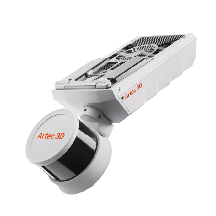
Artec Jet
- Best for
- The whole quarry floor, roads and boundary, from a vehicle
- Type
- Multi-modal SLAM LiDAR
- Accuracy, up to
- ±10 mm underground, ±15 mm general
- Change detection
- ±5 mm
- Range
- 0.5–300 m
- Positional drift
- ±0.03%
- Deployment
- Handheld, backpack, pole, drone, vehicle, cage, robot
For a large quarry, Jet on a vehicle records the floor, the roads and the boundary strip at ±15 mm as it is driven, with no stations, and registers into the same Twins model as the Ray II faces. The tripod covers the faces and piles at survey-grade; the vehicle covers the ground between them.
See a quarry’s faces, stockpiles and extraction volume surveyed from a tripod in a morning, with the boundary check on the same model — book a demo for your quarry manager.
Book a demoQuestions quarry managers ask
Can our own staff run the survey?
Yes. Ray II is set up on a tripod and started; there is no set-up sequence beyond that, and the processing in Artec Twins is a guided registration. On the plant side, Element’s scanning engineer worked independently after two days of supervised practice.
How does the extraction volume compare with our contractor’s annual survey?
The scan records the whole face and floor at 1.9 mm at 10 m, so the volume between two scans is measured geometry rather than interpolated between GNSS shots. A quarterly scan gives the annual return four measured points instead of one.
Can it check the face against the permit boundary?
The faces are on the site grid, so the distance from every point on the face to the boundary is measured. A face approaching the stand-off is flagged before it becomes a compliance issue.
What about aggregate stockpiles for sales?
Each pile is a closed surface against the pad, so the volume for a sale or for stock is measured from the whole pile rather than from a walked crest and toe — and nobody climbs the pile.
Related applications

Tell us about your quarry
Describe the operation, how it is surveyed today and what the return and the permit require. A mining specialist will come back with how a morning’s scan would cover it and what it would return.