
Waste dump and spoil heap volume measurement
A dump is surveyed at its edge — the one part of it that is designed to fail outwards. The volume reconciles the waste moved against the haulage records, and the face angle and lift height are what the geotechnical sign-off rests on.
A scanner at the toe or set back from the crest records the whole face and top at 5.3 mm at 40 m, and the volume, the angles and the lift heights come from the surface rather than from the points someone dared to shoot.
How are waste dump volumes measured without walking the edge?
From a tripod at the toe or behind the crest, a long-range scanner records the full face at 5.3 mm at 40 m; volume, face angle and lift height come from that surface.
 Volume from the faceThe whole dump face and top as measured surface, not a crest and toe line.
 Face angle and lift heightMeasured along the full length, with the sections the geotechnical sign-off needs.
 Nobody on the edgeFrom the toe or well back from the crest, at up to 130 m.
 Settlement over timeTwo scans of the same dump show where the face has moved or the top has settled.
Why the dump survey is the one nobody wants
Dump surveys are shot along the crest and the toe. The crest is the edge of tipped material that has not consolidated; the toe is where anything that comes off the face lands. The surveyor walks one or the other with a GNSS pole and shoots a line, and the face between them is a straight interpolation from crest to toe. The volume is the prism between those lines and the original ground, the face angle is the slope of that straight line, and the lift height is the difference between two crest surveys.
The face is rarely straight. Dumps bulge where tipping concentrated, ravel where fines washed out, and hold material at angles the design did not intend. None of that is in a crest-and-toe survey, so the volume reconciled against the haulage records carries an error nobody can size, and the face angle reported for the geotechnical review is the angle of a line, not of the face.
A long-range scanner records the face. Artec Ray II on a tripod at the toe, or set back from the crest, captures the whole dump surface at 5.3 mm at 40 m, out to 130 m, in under two minutes per station; Artec Twins registers the stations on mine grid with GNSS. The volume is computed between the measured surface and the original ground, the face angle is measured along the actual face at every section, and the lift height is read against the last scan — with the settlement and any bulging shown as a coloured difference.
From toe to reconciled dump
The scanner stands where the material is not going to arrive.
 1. Set up at the toe or behind the crestRay II at stations along the toe with line of sight up the face, or set back from the crest for the top.
 2. Scan the face and topEach station a full 360° × 300° capture in under two minutes; a dump face in a handful of stations.
 3. GeoreferenceTwins registers the stations and places the dump on mine grid with GNSS and existing control.
- 4. Volume, angle, heightVolume against the original ground; face angle and lift height at every section along the dump.
 5. Reconcile and fileVolume against haulage records; sections to the geotechnical review; LAS, LAZ or E57 into the site model.
Which scanner for this work
A dump face is tall and has to be measured from a distance; a dump complex is large. One device for each.
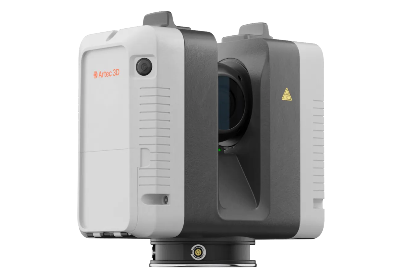
Artec Ray II
- Best for
- The dump face and top from the toe or the crest — face angle and volume
- Type
- Stationary long-range laser, tripod mounted
- Accuracy, up to
- 1.9 mm at 10 m, 2.9 mm at 20 m, 5.3 mm at 40 m
- Range noise
- 0.4 mm at 10 m
- Range
- 0.5–130 m
- Scan time
- 1 min 42 s at 3 mm, 10 m, without texture
- Field of view
- 360° × 300°
Ray II reaches 130 m from a tripod, so a dump face is recorded from the toe without anyone approaching the crest, at 5.3 mm at 40 m. A station takes under two minutes and records everything in a 360° × 300° view, so the whole face and the top behind it are in one surface on mine grid.
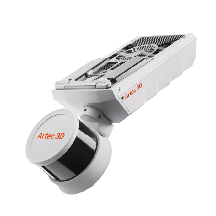
Artec Jet
- Best for
- A dump complex or a long tipping face, covered from a vehicle
- Type
- Multi-modal SLAM LiDAR
- Accuracy, up to
- ±10 mm underground, ±15 mm general
- Change detection
- ±5 mm
- Range
- 0.5–300 m
- Positional drift
- ±0.03%
- Deployment
- Handheld, backpack, pole, drone, vehicle, cage, robot
Where the dump is kilometres of face rather than one, Jet on a vehicle records it at ±15 mm as the vehicle drives the toe road, with no stations. It registers into the same Twins model as the Ray II captures, so the active face gets survey-grade and the rest gets covered every week.
See a dump face measured from the toe with the volume, the face angle at every section and the settlement since last month — book a demo for your survey and geotechnical teams.
Book a demoQuestions surveyors ask
How do we get the face angle from the scan?
From the measured face itself. Sections are cut along the dump at whatever spacing the review needs, and the angle is read from the actual surface at each one — not from a straight line between a crest shot and a toe shot.
Can it survey an active tipping face?
Yes, from the toe, with the trucks still tipping. The scanner is at a safe stand-off and each station takes under two minutes; equipment in view is removed in processing.
How does the volume reconcile with haulage?
The scan volume is computed between the measured surface and the original ground on mine grid, so the reconciliation against truck counts or the fleet management system compares a measured solid with a reported tonnage — with a bulking factor applied as your site does.
Does it show settlement?
Two scans of the same dump overlaid in Twins show the difference as a coloured surface — settlement of the top, movement of the face, a bulge developing — with magnitudes, along the whole dump rather than at a few monitoring pins.
Related applications

Tell us about the dumps you survey
Describe the dump complex, how often it is surveyed and what the geotechnical review needs from it. A mining specialist will come back with how the survey would run from the toe and what the sections would show.