
LiDAR for mining
LiDAR is a distance measurement made with light, millions of times a second, and everything else — SLAM, mobile mapping, drone capture, digital twins — is a question of how the sensor is moved and what is done with the points. The choices matter more than the acronyms, because each one decides what gets measured and to what accuracy.
Seven topics below: four ways of capturing, three things the data becomes.
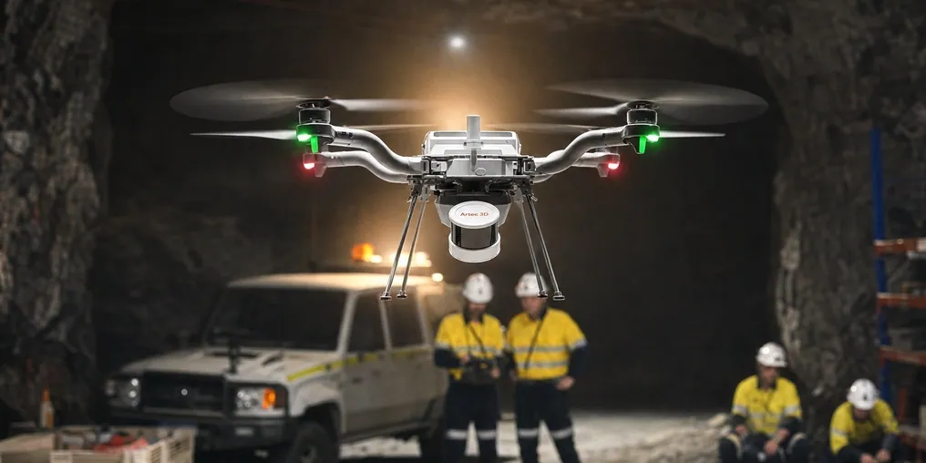
 Everything in viewUp to 1.9 million points a second across 360° × 290°: the surface, not a sample of it.
 Position from the rockSLAM holds ±0.03% drift with no satellites, which is what makes it work underground.
 Accuracy at a stated range1.9 mm at 10 m on a tripod; ±10 mm underground on the move. The range is part of the figure.
 Open formatsLAS, LAZ and E57 — the point cloud lands in the package you already run.
Capture methods
How the sensor is moved decides what it can reach and how accurately it records it.
Data and deliverables
What the points become, and how they reach the people who use them.
Why the capture method matters more than the sensor
Two LiDAR scanners can carry similar sensors and produce entirely different surveys, because the survey is decided by how the sensor moves. A scanner on a tripod stays still while it records, so every point is measured from a known position and the accuracy is that of the instrument — 1.9 mm at 10 m for Artec Ray II. A scanner that moves has to know where it was for every one of the million points it recorded that second, and how it knows — GNSS on the surface, SLAM against the geometry underground — sets the accuracy of everything it produces: ±15 mm on surface and ±10 mm underground for Artec Jet, with ±0.03% positional drift.
Neither is the better method; they answer different questions. The tripod scanner gives survey-grade geometry for the wall that gets signed off and the stockpile that gets invoiced. The moving scanner covers a heading at walking pace, a haul road at driving speed and a stope from a drone, in places a tripod can never be set. Most operations run both, and the point cloud workflow — registration, georeferencing, cleaning, export as LAS, LAZ or E57 — is what turns both into one model the planning package reads.
Measured, not asserted
What the points become
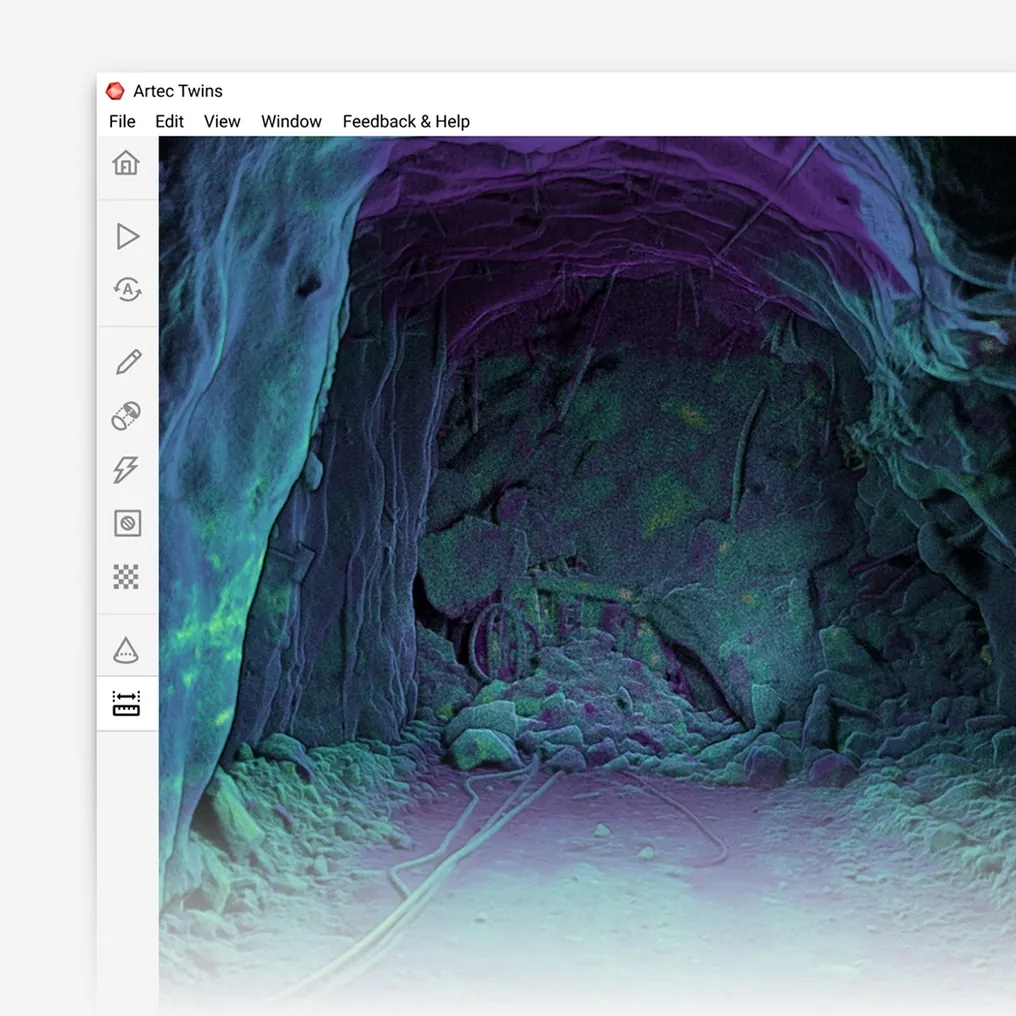

A digital twin: The mine as it is, updated each time it is scanned, for planning, ventilation, rescue and the record.

Volumes: Stopes, stockpiles, dumps and shots as closed solids, reconciled against the plan.

Change: Two epochs overlaid: convergence, slope movement, wear, at ±5 mm.

The planning model: LAS, LAZ and E57 into Vulcan, Deswik, Micromine, Surpac or Leapfrog, as they are.
See a walked heading, a flown stope and a tripod-scanned wall registered into one model and opened in your planning package — book a demo for your survey and technical teams.
Book a demoQuestions that come up before the first job
What is the difference between LiDAR and laser scanning?
None that matters here: LiDAR is the measurement principle — distance from the time light takes to return — and a laser scanner is an instrument that uses it. The useful distinctions are between a scanner that stays still while recording and one that moves, and between one that positions by GNSS and one that positions by SLAM.
How accurate is LiDAR for mining?
It depends on the method and the range, which is why a figure without either is meaningless. Ray II on a tripod: 1.9 mm at 10 m, 5.3 mm at 40 m. Jet moving: ±10 mm underground, ±15 mm on surface, with ±5 mm change detection between scans. Each is on its own page here.
Does LiDAR work underground with no GPS?
Yes, by SLAM. Jet builds its own reference from the geometry around it and holds ±0.03% positional drift against it, so a decline or a stope is surveyed without any signal from surface. Survey control ties the model to mine grid.
Can LiDAR be flown?
Jet mounts to a drone that plans its own flight path — including underground, in complete darkness, avoiding obstacles as fine as 2 mm wires. Stopes, shafts, ore passes and old workings are where that matters.
What comes out, and does our software read it?
Point clouds as LAS, LAZ and E57, and standard meshes, from Artec Twins. Maptek Vulcan, Deswik, Micromine, GEOVIA Surpac and Leapfrog read them directly.
Do we need LiDAR or a handheld structured-light scanner?
Both, usually. LiDAR — Jet and Ray II — covers the ground, the openings and the plant. Artec Leo, a structured-light handheld, records components at 0.1 mm: liners, mantles, parts. The comparison hub on this site is where that choice is worked through.
Other areas of mine surveying

Tell us what you need LiDAR to do
Describe the asset, the access and where the data has to end up. A mining specialist will come back with the capture method that fits — tripod, walked, driven or flown — and the accuracy you can expect from it.