
Highwall and mine slope monitoring
A highwall is watched at points: prisms on the face read by a total station, a radar unit on the critical section, an engineer walking the crest looking for cracks. Between the points the wall is assumed to be behaving, and a failure begins wherever it likes.
Scanned from across the pit, the whole wall is one measured surface; a second scan overlaid shows movement, new cracks and rockfall scars across the entire face as a coloured difference, from a tripod nobody has to leave.

Can 3D scanning monitor a highwall?
Yes — from a tripod across the pit the whole wall is recorded at 5.3 mm at 40 m; a later scan overlaid shows movement and cracks across the entire face.
 The whole faceEvery bench, berm and crest as one surface, out to 130 m from the tripod.
 Change scan to scanMovement, new cracks and rockfall scars as a coloured difference with magnitudes.
 Nobody under the wallScanned from the opposite side of the pit or a safe bench.
 The wall on recordEvery epoch kept; a failure is traced back through the scans that preceded it.
Why a wall is monitored where the prisms are
Slope monitoring is a network of chosen points. Prisms are glued to the face where the geotechnical engineer expects movement, a total station reads them on a schedule, and where the risk is highest a radar unit watches one section continuously. The readings are excellent at those points. Everywhere else — the berm that nobody instrumented, the section between two prisms, the part of the wall the radar does not see — the wall is assumed to be behaving, and the first sign otherwise is rock on the bench.
Installing and reading the instruments is itself exposure. Prisms go on the face, which means someone on the face or on a bench under it; a total station needs line of sight and an operator. The engineer’s walk along the crest looking for tension cracks is a visual inspection of ground that may be about to move. And the record of what the wall looked like a month ago is the prism readings and some photographs.
A scan monitors the surface. Artec Ray II on a tripod across the pit records the whole wall at 5.3 mm at 40 m, out to 130 m, every bench and berm in a 360° × 300° view, in under two minutes per station. A second scan from the same positions is overlaid in Artec Twins and the difference shows across the entire face: a section moving outward, a tension crack opening at the crest, a rockfall scar with a volume. The prisms stay for the time-series; the scan tells you where the next one should go.
From baseline to change map
The first scan is the baseline; every later one is compared with it from the same positions.
 1. Baseline the wallRay II from two or three positions across the pit, each a two-minute 360° × 300° station, at 5.3 mm at 40 m.
 2. Fix the frameTwins registers the stations on mine grid to control outside the moving ground.
- 3. Re-scan on scheduleThe same positions weekly, monthly or after rain and blasting; the wall is on record each time.
- 4. OverlayEach epoch against the baseline: movement, cracks and scars coloured by distance with magnitudes.
 5. ReportChange surfaces and sections into the geotechnical package; prisms and radar keep their place where a continuous series is needed.
Which scanner for this work
A wall is monitored from across the pit, which is what a long-range tripod scanner does; a very long wall is covered from a vehicle between the stations.
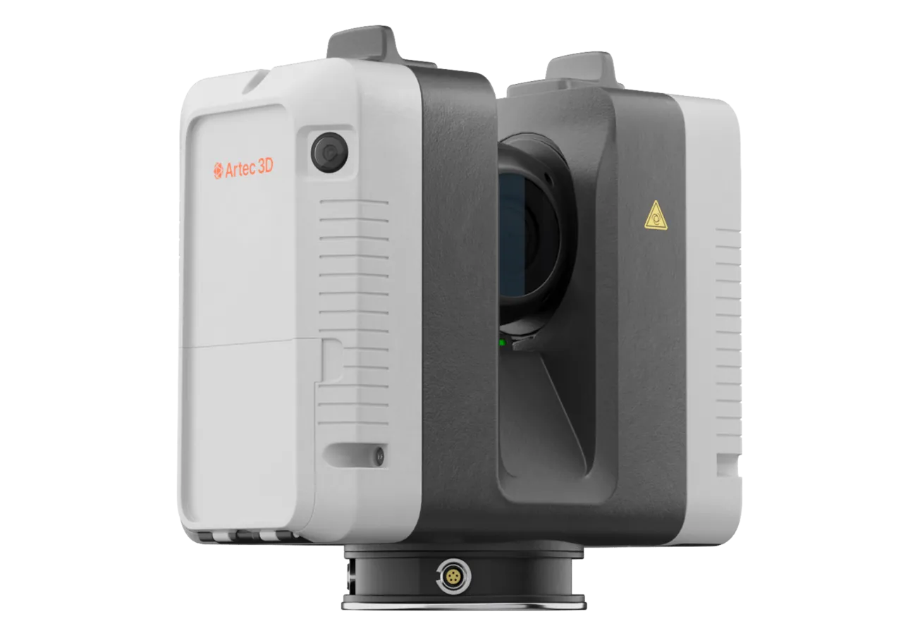
Artec Ray II
- Best for
- The wall from across the pit — the accuracy that turns change into a measurement
- Type
- Stationary long-range laser, tripod mounted
- Accuracy, up to
- 1.9 mm at 10 m, 2.9 mm at 20 m, 5.3 mm at 40 m
- Range noise
- 0.4 mm at 10 m
- Range
- 0.5–130 m
- Scan time
- 1 min 42 s at 3 mm, 10 m, without texture
- Field of view
- 360° × 300°
Ray II reaches 130 m from a tripod at 5.3 mm at 40 m with 0.4 mm range noise at 10 m, so small displacements between epochs read as signal. A station takes under two minutes and records the whole wall in view, so a monitoring round is a few stations from positions nobody has to leave.
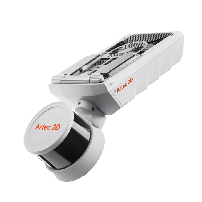
Artec Jet
- Best for
- Kilometres of wall between the critical sections, from a vehicle
- Type
- Multi-modal SLAM LiDAR
- Accuracy, up to
- ±10 mm underground, ±15 mm general
- Change detection
- ±5 mm
- Range
- 0.5–300 m
- Positional drift
- ±0.03%
- Deployment
- Handheld, backpack, pole, drone, vehicle, cage, robot
Where the pit perimeter runs to kilometres, Jet on a vehicle records the walls along the haul road at ±15 mm without stopping, and registers into the same Twins model. The critical sections get the tripod; the rest gets a change map every week.
See two scans of a highwall overlaid with a tension crack opening at the crest where no prism was installed — book a demo for your geotechnical team.
Book a demoQuestions geotechnical engineers ask
How does a scan compare with our radar?
Radar watches one section continuously and detects very small movements there; the scan measures the whole pit wall at 5.3 mm at 40 m between epochs. They are complementary: the scan finds where movement is beginning across the face, the radar watches it once found.
How small a movement can it see?
Accuracy is 5.3 mm at 40 m and range noise 0.4 mm at 10 m, so between two well-registered epochs the difference resolves centimetre-scale movement on a wall across the pit and finer close in. A developing failure moves well beyond that before it fails.
How often should we scan?
That is the geotechnical plan’s call, but a monitoring round is a few two-minute stations from the same positions, so weekly rounds, and a scan after heavy rain or a nearby blast, are routine rather than a project.
What does it give the investigation after a failure?
Every epoch on record. The failure is traced back through the scans that preceded it — where movement began, how fast it grew — and the post-failure scan gives the volume and the geometry of what came down.
Related applications
Tell us about the walls you monitor
Describe the pit, the instruments in place and the sections that concern you. A mining specialist will come back with how a scan round would run and what the change maps would add to the prisms and radar.